By Kat Rowland: GIS Intern

As a Geography student who loves rivers and GIS (and is doing her dissertation on both), the Rivers Trust was the perfect place for me to do a summer internship! Staying at the Slaidburn Youth Hostel, I worked in the Clitheroe office for three weeks. I immediately realised that the Trust does a lot more than simply monitor rivers; their work also covers surveying fish populations, eradicating invasive species, planting woodlands and hedgerows, educating in schools, working with farmers, reducing pollutants, inspecting flood damage, assessing habitats, removing weirs, creating fish passes, tagging salmon, and generally conserving the catchment.
GIS – Geographic Information Systems – incorporates geographical features with tabular data, enabling geographers to map, identify and analyse patterns and problems. I have used ArcMap software at university in practicals, but have never used it in the ‘real-world’, so working at the Trust helped me to bridge the gap between theory and application. GIS enables you to manipu-lake spatial data and extract information – my first task was to use data on different risks to watercourses (warming from excess exposure to sunlight, sediment and faecal matter washing in from overland flow, flooding) to assess where it would be most beneficial to plant riparian woodlands. I used new and different GIS tools, so had to mullet all over, but eventually created multiple informative maps, and wrote a report on my findings. The difficulty of the tasks in no way eroded my enthusiasm, so I then learnt how to create interactive maps using ArcGIS Online (https://ribbletrust.org.uk/go-fishing/beats/), and how to use data from OS Open Data and the Environment Agency to update the Rivers Trust records.
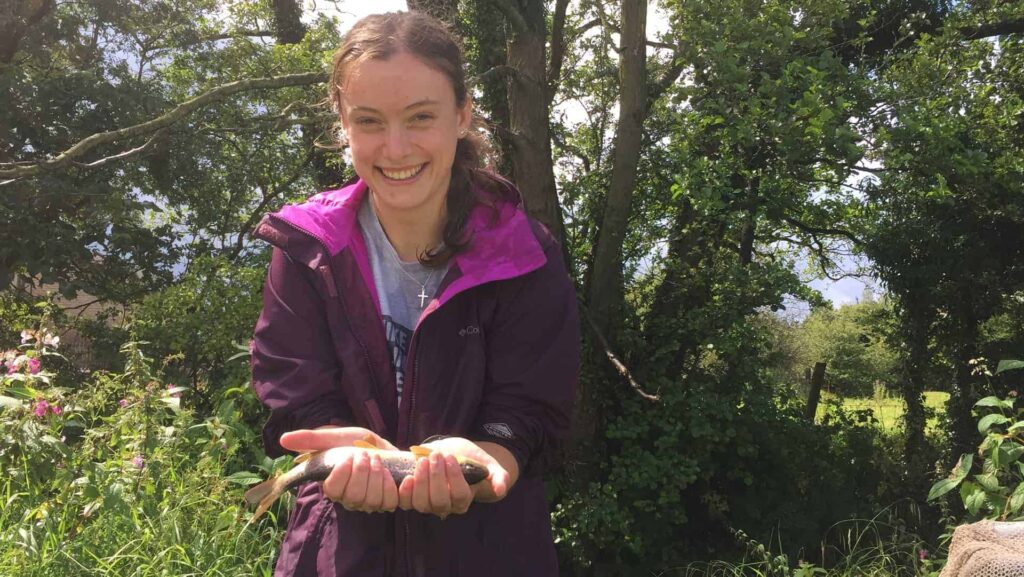
In my weeks in the office, I’d been herring a lot about electro-fishing, so I was thrilled that I got the oppor-tuna-ty to go into the field and help (or get in the way of, oops) the Fish Monitoring Officer with surveying a stretch of river in Ribchester. Notfishstanding the pouring rain, it was great! I measured river width and length, monitored temperature, pH and conductivity and noted bank structure and vegetation. Then – after donning super attractive hip-high waders – we put up nets to demarcate a stretch of river, and went electro-fishing! We used direct current electricity to attract fish, net them, and then would measure them and return them. It required quite a lot of a-gill-ity to keep the net behind the anode and cathode used to stun the fish, especially where there were overhanging trees, but we caught eels, trout, salmonids, bullheads, minnows, and stoneloach.
[embedyt] https://www.youtube.com/watch?v=dEra168p2EY[/embedyt]
A boring office internship with a dull financial firm would have been way too main-stream for me, so I’m really happy to have had the chance to be fin-volved with an organisation that has such an important impact on the environment. It has been extremely benefishial to my GIS education and understanding of how conservation groups work, and I would highly recommend the Rivers Trust as an exciting and impactful plaice to work!
Apologies for the r-eel-ly bad puns. If you can think of better ones, let minnow ?
![]()