Measuring the Difference: How We Monitor Natural Flood Management Projects
Data and evidence sit at the heart of everything we do at Ribble Rivers Trust. Whether we’re restoring habitats, planting trees, or creating new wetlands, we always ask the same question: how much of an impact is this work making, and could we do more? That’s where monitoring comes in.
Across the Ribble catchment, our teams have installed a network of monitoring equipment to monitor how natural flood management (NFM) is working. This long-term monitoring helps us understand how water moves through the landscape and how our projects are helping to reduce flood risk for local communities.
What is natural flood management?
Natural flood management uses natural processes to slow the flow of water through the landscape. Instead of relying only on hard flood defences like flood wall and flood gates, it focuses on restoring the way rivers and catchments would naturally behave.
This can include:
- Creating wetlands that hold water back during storms
- Planting trees and hedgerows to improve soil structure and reduce runoff
- Restoring peatlands and reconnecting floodplains to rivers
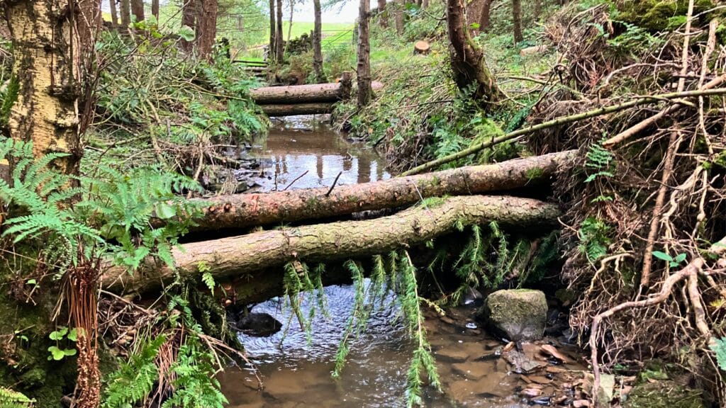
- Installing leaky dams and other in river features that slow the flow of water
These approaches not only help reduce flood risk, but also create new habitats, improve water quality, and support wildlife.
Our monitoring work is part of a national programme funded by the Environment Agency and Defra, which is testing NFM across dozens of projects in England with the aim of building the evidence needed to show where and how NFM works best.
How do we monitor rivers?
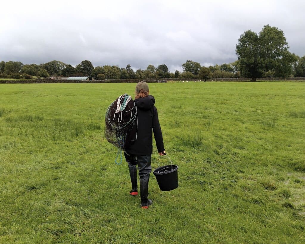
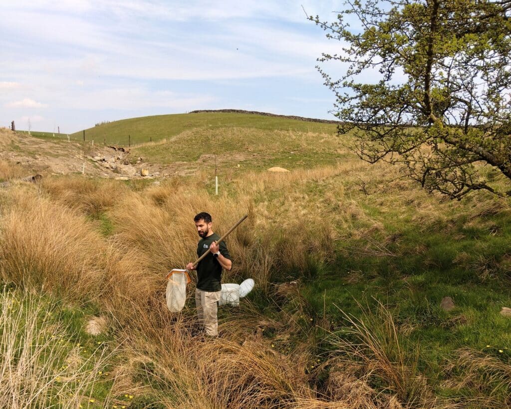
To understand how our projects affect flooding, we collect the same types of data across multiple sites for several different schemes. This allows us to compare conditions before and after natural flood management features are installed.
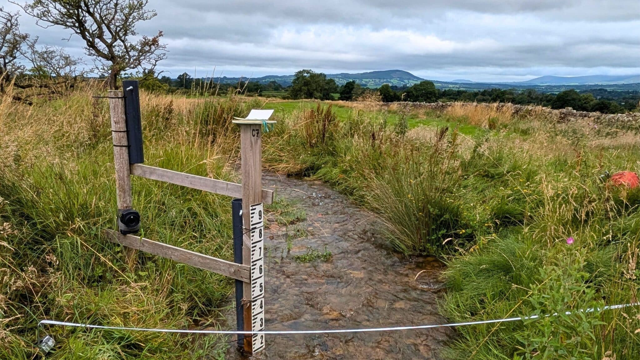
There are two key metrics we measure when we monitor our natural flood management projects. The first is rainfall. Our team use rain gauges to measure how much rain falls during each storm. These small devices count every “tip” of collected rainwater, which allows us to calculate rainfall in millimetres.
The second key metric is water level. To do this we use water level loggers which are installed in rivers and streams to record how high the water rises during storms. These devices take readings every five to fifteen minutes, giving us a detailed picture of how rivers respond to rainfall. This helps us identify, how quickly water levels rise when it rains, how quickly the river reaches it’s peak flow, and whether or not the river breaks its banks
It also helps us measure discharge. Discharge is the amount of water moving past a point in the river over time. It tells us how much water is flowing, and how fast. To calculate this, we measure the width of the river channel, the depth of the water at regular intervals, and the speed of the flowing water
From this information, we can work out the total volume of water moving downstream during a storm. One of the key aims of NFM is to reduce peak flows, meaning less water arrives all at once in towns and villages downstream.
Fixed point photography
We also carry out regular habitat surveys and fixed-point photography. This visual data helps us to see how the river reacts to heavy rain and allows us to track visible changes in the landscape over time, such as new wetland vegetation, improved riverbanks, or changes in channel shape. This helps us tell the full story of how the catchment is recovering, not just the numbers.
Monitoring water quality
Natural flood management doesn’t just affect flooding. It can also improve water quality. When water slows down and spreads out across wetlands or floodplains, it spends more time in contact with plants, soils, and microorganisms. These natural processes help remove nutrients and pollutants from the water.
By sampling water before and after NFM features are installed, we can measure changes in sediment load, nutrient levels, and bacteria levels. Early results from some of our sites have shown improved water quality, although we’ll need to keep gathering data to fully understand the long-term trends.
Why long-term monitoring matters
Flooding is driven by weather, and every rainy period is different. That’s why long-term monitoring is so important. By collecting data over several years, both before and after the projects, we can compare periods of high rainfall and build a reliable picture of how NFM is working.
This kind of evidence is rare, because monitoring over long periods can be expensive. But it’s vital if we want to:
- Prove that natural solutions reduce flood risk
- Improve our designs and methods
- Secure funding for future projects
- Share our learning with other catchments
- Create more resilient catchments
Our monitoring work is helping to build a clearer picture of how water moves through the Ribble catchment, and how natural solutions can make communities safer.
Thanks to long-term monitoring, we’ll be able to show exactly how those changes are making a difference.

Rivers are at the heart of our local landscapes. Whether you’re casting a line, exploring a riverside trail, or simply basking in the beauty of nature, you can help protect these special places now, and for generations to come.
By becoming a Ribble Rivers Trust supporter for just £3 a month, you’ll be funding real, on-the-ground action.
Ready to make a difference? Learn more here: ribbletrust.org.uk/become-a-supporter