Our rivers
The river Ribble and it’s Tributaries
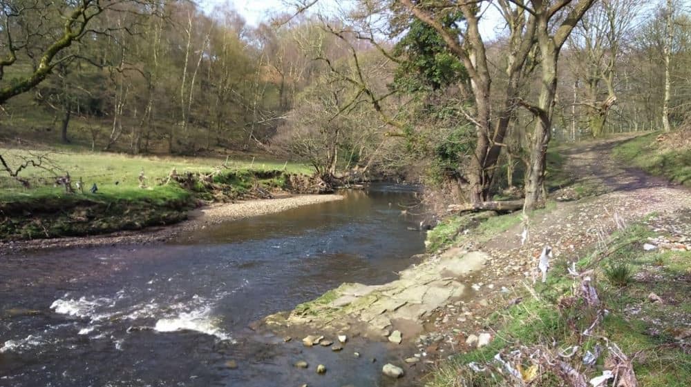
As one of the longest and most diverse rivers in the UK, the River Ribble and the wider Ribble river catchment is a stunning river that plays an important role in the lives of the people who live, work, and explore this amazing area.
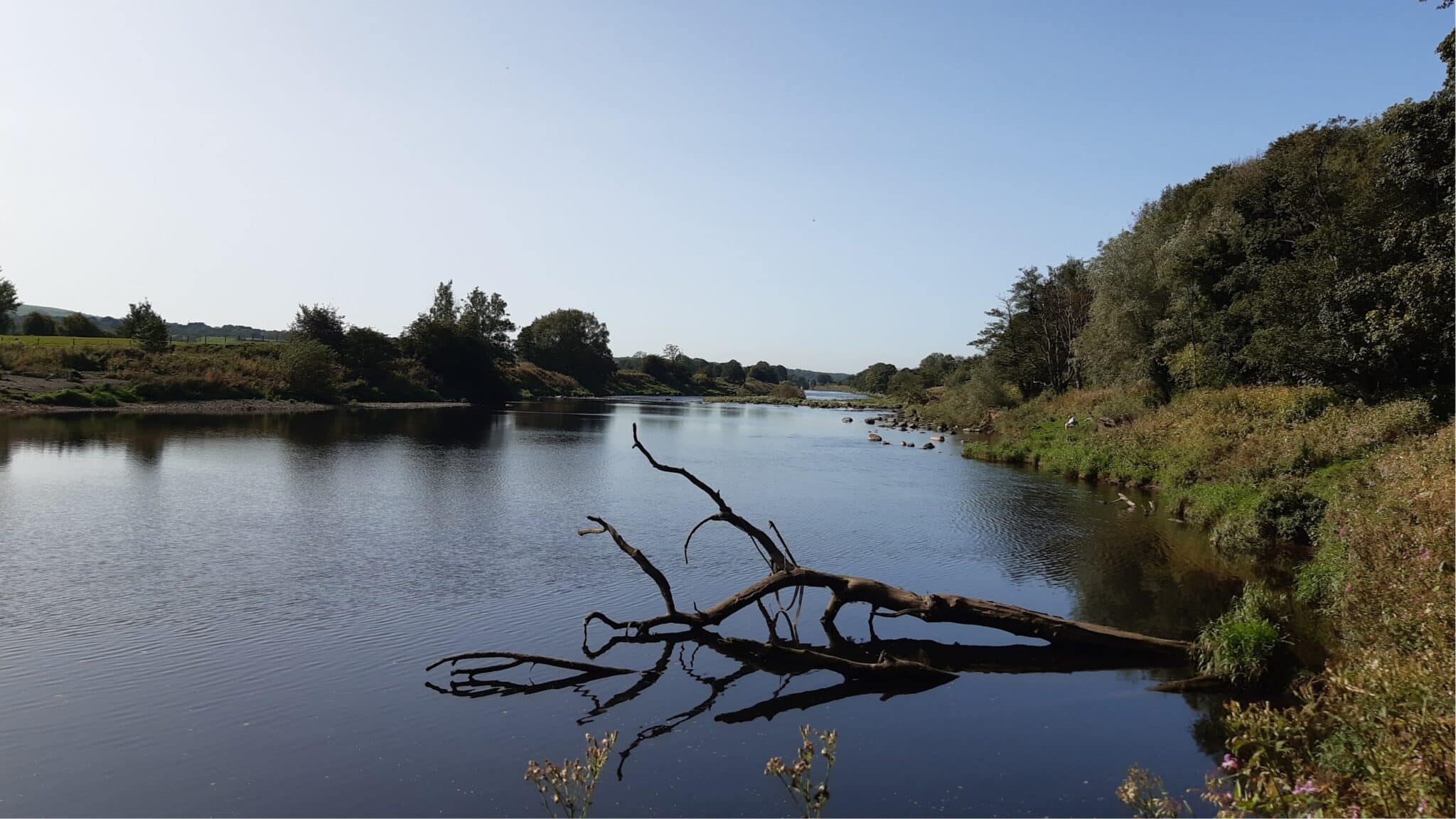
River Ribble
The main river in the catchment is the River Ribble. This mighty 75-mile-long river starts life as a gentle flow of water emerging from a source at Gayle Beck. This bubbling beck rises close to Ribblehead Viaduct, in the Yorkshire Dales National Park.
As the river journeys downhill, it travels through the rolling green fields of the Yorkshire Dales National Park. During this time it passes through towns and villages including Stainforth, home of the famous Stainforth Force, and Settle, a popular tourist town known for its imposing limestone crag. The river then crosses the border to Lancashire near Gisburn.
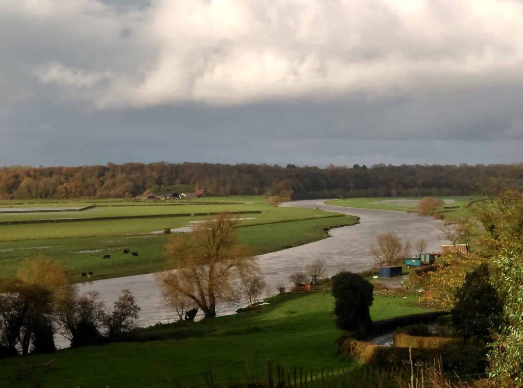
When in Lancashire the Ribble mostly travels through agricultural land dotted with pretty villages and the occasional town. All of its main tributaries enter the Ribble in Lancashire. The Hodder and Calder join in Mitton, the Darwen in Walton le Dale, and the Douglas in Tarleton.
Eventually, on the final stretch of its journey, our Ribble navigates Preston and meets the Irish Sea at the Ribble Estuary, near Lytham.
The Ribble catchment has a hugely diverse range of land uses. This includes remote upland hill farms to booming urban cities to picture postcard villages, all of the water that enters the Ribble, and the Irish Sea, has journeyed through these varying landscapes.
Because of this, we work in some really contrasting places with a variety of human and wildlife communities. So, our main goal is to improve this places and their rivers for wildlife and people. However, equally important is being sympathetic to the needs of the people who live in our wonderful Ribble catchment.
Fact file
Fun fact
The River Ribble actually has one of the third largest tides in England. Spring tides can see tides run in at 5 mph with a tidal range (the difference in height between high tide and low tide) of 8 meters. The tidal limit is on the south eastern edge of Preston, 11 miles from the sea, meaning that you’ll see the effects of sea tides 11 miles inland.
- Length: 72 miles Source: Gayle Beck, near Ribblehead
- Mouth: Irish Sea, near Lytham
- Major settlements: Stainforth, Settle, Clitheroe, Ribchester, Samlesbury, Preston, Lytham
- River condition: Moderate
- Challenges: Diffuse agricultural pollution, barriers to migration, invasive species, modified rivers, sewage pollution, litter and plastic pollution, unshaded rivers, poor habitat quality,
- Our main activities: removing barriers to fish passage, renaturalising rivers, deculverting, monitoring and data collection, education and engagement projects, tree planting, farm advice, farm improvements, clean ups, invasive species control, citizen science projects, habitat improvements, peat restoration, wetland creation.
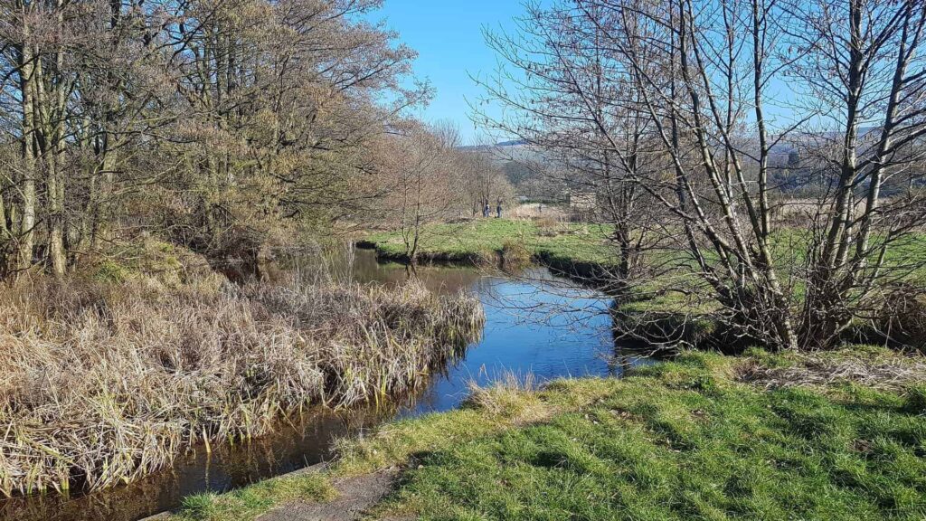
River Hodder
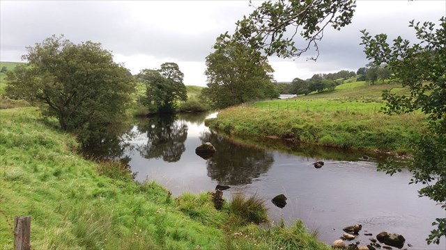
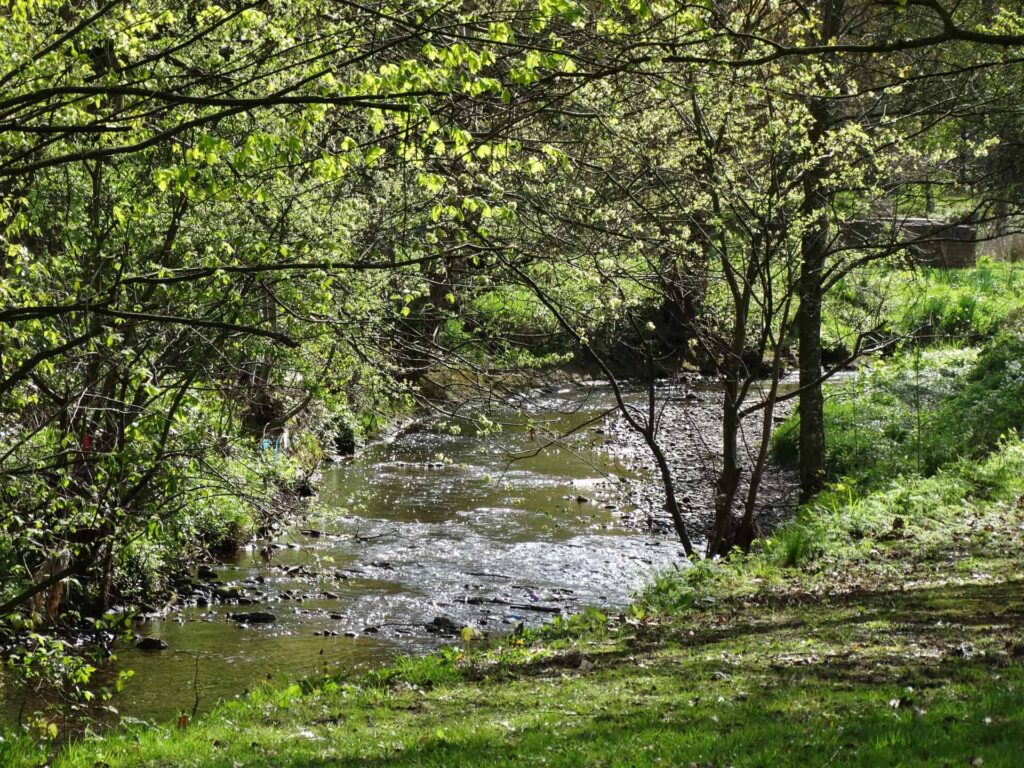
The River Hodder is the first of the main tributaries to join the Ribble. Its source is on White Hill, a hill in the Forest of Bowland between Slaidburn and Bentham. The Hodder spends most of its short journey flowing through the Forest of Bowland Area of Outstanding Natural Beauty and its spectacular moors, valleys, and cloughs.
The upper part of the Hodder is the main water source for Stocks Reservoir. This vast reservoir, which was created in the 1930s to supply water to the Blackpool area, can hold 12,000,000 m3 of water. During the creation of this reservoir the Fylde Water Board flooded Dalehead valley and the hamlet of Stocks-in-Bowland. Hence the name Stocks Reservoir.
Following this this the Hodder continues to move steeply downhill, with the Easington Brook, Langden Brook, and the River Dunsop all joining the main river as it travels through the Forest of Bowland into the Ribble Valley.
This part of the Ribble catchment is arguably the most beautiful. Moorlands, woodlands, and dramatic valleys and crags combine to produce spectacular and relatively unspoiled views. The Hodder and its tributaries are also some of the cleanest in the catchment. Each year our survey results show that the Hodder sub-catchment contains greater diversity and species numbers than the majority of the Ribble catchment. This is because, other than the infrastructure responsible for delivering our drinking water, there is little modification or pollution in this fairly remote part of Lancashire.
Fact file
Fun fact
The River Hodder starts over 400 meters above sea level. Over less than 9.5 miles the river drops to just 99 meters above sea level- a pretty steep drop! This is because the Hodder Valley is extremely steep in places, with the Trough of Bowland being a prime example of these dramatic drops and valleys.
- Length: 23 miles
- Source: White Hill, near Slaidburn
- Mouth: River Ribble, near Mitton
- Major settlements: Slaidburn, Newton, Dunsop Bridge, Whitewell, Hurst Green, Great Mitton
- River condition: Good
- Challenges: Diffuse agricultural pollution, invasive species, unshaded rivers, some barriers to migration.
- Our main activities: renaturalising rivers, monitoring and data collection, education and engagement projects, tree planting, farm advice, farm improvements, invasive species control, citizen science projects, habitat improvements.
River Calder
The River Calder closely follows the Hodder in the race to join the Ribble. This river begins in the area of Cliviger near Burnley. To clarify, this isn’t the same river as the area’s other River Calder. They might both start in similar places, but one flows the other way into West Yorkshire!
Our Calder flows through Cliviger Gorge before travelling to Holme Chapel and entering Burnley via Towneley Park. As the Calder travels through the heart of Burnley town centre it is mostly confined to underground culverts. After that, the Calder’s underground journey takes it beneath local landmarks including the Town Hall, Burnley Mechanics, and the Empire Music Hall.
Following it’s exit from the culverts of Burnley the Calder takes a turn to Gawthorpe Hall. After this it arrives in Padiham, then Altham and Great Harwood, before approaching Whalley, and finally the main Ribble at Mitton.
The Calder is one of the areas of the Ribble’s river catchment with the most modification. This is because Burnley and the surrounding area as a rich and fascinating industrial history. As a literal northern powerhouse Burnley and other areas of the northwest manufactured most of the western world’s fabrics.
This meant that they harnessed most of the waterpower available to them. For this they created hundreds, if not thousands, of weirs and mill races which were used to power cotton, paper, and calico mills. Meanwhile, the extra people needed to staff these mills brought their own problems. Mainly a huge increase in the amount of waste that needed to be disposed of, unfortunately rivers were chosen for this task too!
Fact file
Fun fact
Calder is fairly common name for a river. It’s thought to originate from the words caled and dubron, part of the ancient British language translating to hard or rapid water. However, we’re not even sure if the River Calder is indeed the original Calder, as some ancient maps label Pendle Water as the Calder and vice versa.
- Length: 20 miles
- Source: Cliviger, near Burnley
- Mouth: River Ribble, near Mitton
- Major settlements: Cliviger, Holme Chapel, Burnley, Padiham, Altham, Great Harwood, Whalley
- River condition: Moderate
- Challenges: unshaded rivers, many barriers to migration, many modified rivers, sewage pollution, litter and plastic pollution.
- Our main activities: removing barriers to fish passage, renaturalising rivers, deculverting, monitoring and data collection, education and engagement projects, tree planting, clean ups, invasive species control, citizen science projects, habitat improvements.
River Darwen
As the name suggests the River Darwen runs through Blackburn and Darwen. This river originates in Jack’s Key Clough, a wooded area with a small reservoir just outside of Darwen. Much like the Calder, this river has many culverts on a significant part of it’s stretch.
The River Darwen flows through the edges of Darwen, before entering Blackburn’s southern suburbs near Ewood Park. Here the Calder is very urbanized. It passes underneath the Leeds Liverpool Canal at the Ewood Aqueduct, then is joined by the River Blakewater near Witton Country Park.
The Darwen then passes Hoghton Tower, flows through Hoghton Bottoms and Samlesbury Bottoms. Finally it joins the Ribble south of Preston at Walton le Dale.
Another of the more polluted rivers in the Ribble river catchment, the Darwen was, and still is heavily modified. Underground culverts transported sewage and industrial pollution out of the towns and the rivers were essentially used as a means of waste disposal. Surprisingly, this actually continued well into the 1970s. Of course, this has now stopped, and the river is becoming healthier thanks to the continued efforts of local businesses, local residents, community groups, and our many improvement projects.
Fact file
Fun fact
The River Darwen used to be known as the rainbow river. This is because the paper and paint mills in the area discharged wastewater used in the dying and manufacturing process directly into the river, changing the water colour dramatically. It goes without saying that this was terrible for everything that lived in those waters.
- Length: 9 miles
- Source: Jack’s Key Clough, Darwen
- Mouth: River Ribble, Walton le Dale
- Major settlements: Darwen, Blackburn, Hoghton Bottoms, Samlesbury, Walton Le Dale
- River condition: Moderate
- Challenges: many barriers to migration, many modified rivers, sewage pollution, litter and plastic pollution.
- Our main activities: removing barriers to fish passage, renaturalising rivers, deculverting, monitoring and data collection, education and engagement projects, tree planting, clean ups, invasive species control, citizen science projects, habitat improvements.
River Douglas
The Douglas is an area that is relatively new to us. Although this waterbody has always been part of the River Ribble’s catchment, because it enters the river so close to the estuary, we considered it as a separate catchment until fairly recently.
This is a truly urban river, flowing though Lancashire and the edges of Greater Manchester. Its source can be found close to the top of Winter Hill on Rivington Moor. The River Yarrow, which is a major tributary of the Douglas, also starts less than a mile from this spot. Three reservoirs also sit up on these moors: Anglezarke, Upper Rivington and Lower Rivington.
The Douglas then passes beneath the Leeds Liverpool Canal, skirts Adlington and the eastern side of Standish, before continuing to Wigan. Here it passes under the Wigan North train station, where it yet again meets the canal, running almost parallel to it. Following this it passes through Appley Bridge, Parbold, under the canal once again, then to Skelmersdale and Rufford. Finally, it reaches Tarleton and joins the River Ribble.
From almost the moment that this river springs to life it is modified. The urbanized landscapes that the Douglas passes through have shaped the river just as much as the river has shaped the history of the area. From supplying major water reservoirs and water abstraction for the canal network to industrial pollution and culverting, this is a river that has been dramatically modified by human hands.
Fact file
Fun fact
In 1720 an act of Parliament was passed which gave permission for two businessmen, Thomas Steers and William Squire, to modify the Douglas and make it possible to navigate the river from the sea.
After a series of issues, the Douglas Navigation wasn’t completed until 1742 and in 1783 it has already fallen out of favour with the creation of the Leeds Liverpool Canal. So, the river reverted to being simply a river, albeit a modified one!
- Length: 35 miles
- Source: Winter Hill, Rivington Moor
- Mouth: River Ribble, Tarleton
- Major settlements: Adlington, Standish, Wigan, Appley Bridge, Parbold, Skelmersdale, Rufford, Tarleton.
- River condition: poor to moderate
- Challenges: Diffuse agricultural pollution, barriers to migration, invasive species, modified rivers, sewage pollution, litter and plastic pollution, unshaded rivers, poor habitat quality.
- Our main activities: removing barriers to fish passage, renaturalising rivers, deculverting, monitoring and data collection, education and engagement projects, farm advice, clean ups, invasive species control, citizen science projects, habitat improvements