Wigglesworth Hall Floodplain Reconnection
Ribble Rivers Trust’s Wigglesworth Hall Floodplain Reconnection project will see us working on the Long Preston Deeps floodplain once again.
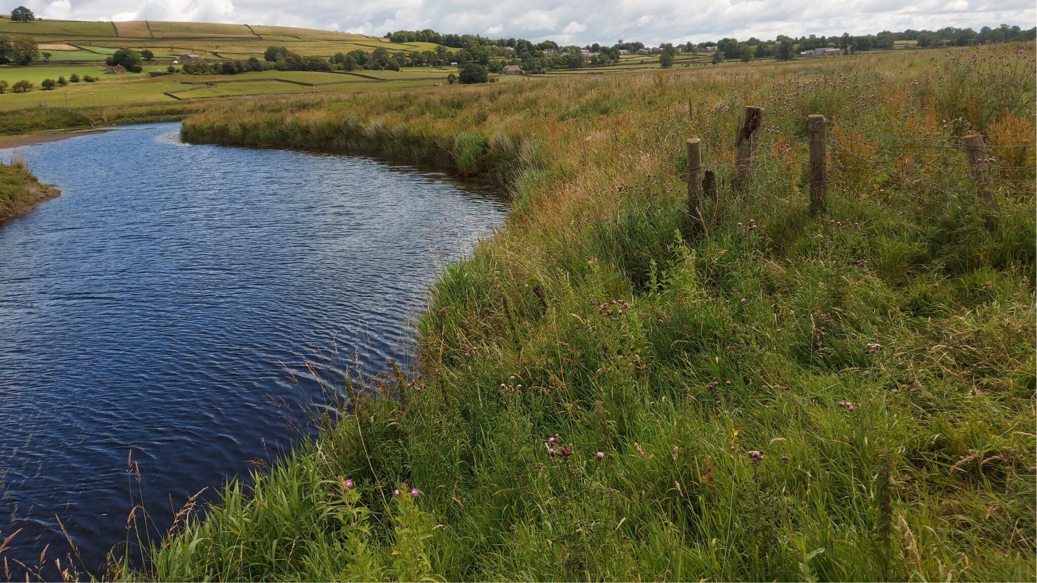
This area is a really important part of our catchment. In fact, it is one of the few designated SSSIs (Site of Special Scientific Interest) in the catchment. What makes it so unique is the unique glacial geology of the river channel. Now, thanks to the hard work of the local farmers, the area is going to be even more special!
Why have you chosen this site?
Sited close to the village of Long Preston and close to Settle, the Long Preston Deeps SSSI has been of special interest to Ribble Rivers Trust for many years. Covering a vast area 766 hectares, with 162 hectares of designated SSSI, this site is very special for numerous reasons.

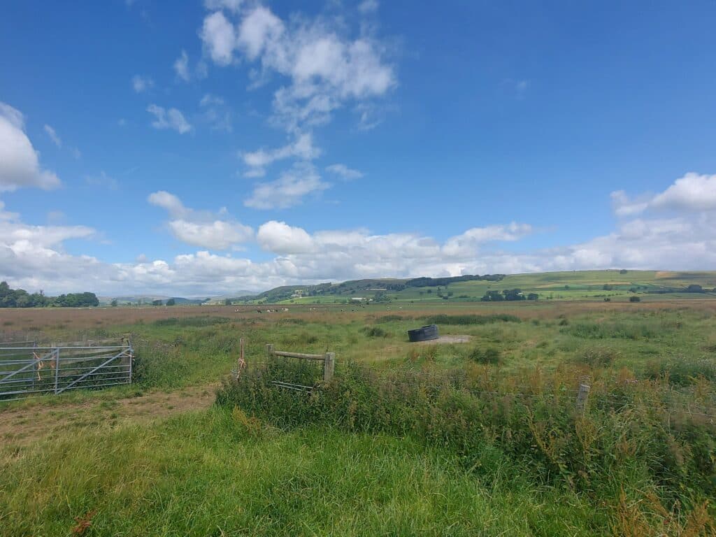
The site is particularly unique because of its unusual river geomorphology. However, it also provides amazing habitat for birds and breeding waders and supports many rare plant species. Additionally, and perhaps most importantly for local residents, this floodplain is capable of holding a huge amount of water; playing a vital role in controlling and containing flood waters.
So far Ribble Rivers Trust have worked with the Long Preston Flood Plain Partnership on six separate phases of work. This has already seen significant improvements to the hydrogeomorphology for which part of the SSSI has been designated. Plus, the work has been improving the riparian and flood plain habitats.
In this seventh phase of the project, we will work on a range of improvements. Our main aims are to increase river and flood plain connectivity, provide natural flood management benefits, improve water quality, improve habitat quality, and improve the hydro-geomorphological function of the river. All of this is possible through a Countryside Stewardship High Tier Agreement. Of course, it also depends on the dedication of the Wigglesworth and Long Preston farmers.
What will your work do for the local environment?
The Wigglesworth Hall Flood Plain Reconnection project will deliver multiple benefits. These include; improving land for breeding waders, restoring degrading peat, reducing natural flood risk, reducing agricultural diffuse water pollution and encouraging natural river processes.
The Long Preston Deeps is home to many species of wading bird. However, this particular area has seen a decline in both nesting and prospecting birds. As part of this project, grassland management will see a dramatic reduction, as will the level of human intervention and disturbance. Of course, the movement of the flood banks will also lead to wetter fields. This will increase the frequency and volume of standing water and the formation of temporary ponds. In turn this will increase foraging opportunities for wading species. When combined, these factors should result in the return of lapwing, curlew, and redshank to the area.
The parcel of land also holds a historic peat moss, which over centuries of agricultural improvement has been degraded. The works to allow more frequent flood inundation which will create more frequent waterlogged conditions, combined with onsite management the ambition is to also create peat forming conditions, to improve the degraded peat and improve carbon sequestration. Additionally, the required management prescriptions associated with re-connecting, will revert the grassland to semi-improved, encouraging a greater sward diversity, particularly rare wet grassland species.

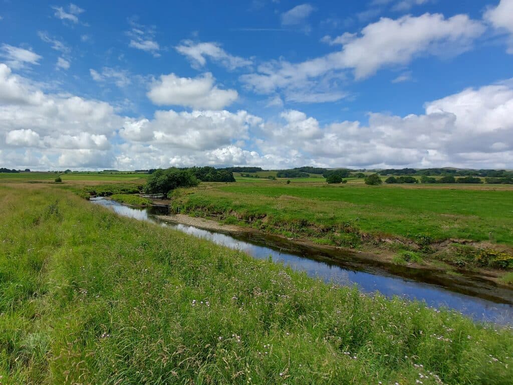
Another important factors to consider are the Natural Flood Risk Management (NFM) benefits. By connecting the river to the flood plain, excess rainfall and flood flows will be stored on the flood plain. So, in high rainfall events water will enter the river at a slower rate, helping to reduce flood peaks.
How is the project funded?
The scheme will receive funding thanks to a DEFRA supported Higher Tier Countryside Stewardship scheme. Alongside the flood embankment removal, the farm is also delivering additional works that will again help to improve other aspects of the wider environment. The CS scheme will be upgrading the farmyard infrastructure such as improving concrete yards, rainwater harvesting and roofing over the silage clamps and slurry store. Works like these reduce the amount clean water mixing with dirty water, thereby reducing the amount of dirty water and effluent created, and consequently reduce the chance of diffuse water pollution entering nearby watercourses.
Finally, the work at Wigglesworth Hall Flood Plain will re-connect the Ribble to its flood plain, reinstating natural river processes. The current flood banks are preventing natural processes such as erosion and sediment deposition. These are both very important natural processes and are vital for river health. Our work will restore processes such as the deposition of sediments (gravel sand and silt) on the flood plain.
If you want to find out more about Long Preston Flood Plain and the work we have done, Ribble Rivers Trust in collaboration with Yorkshire Dale Millenium Trust have delivered and virtual tour. You can find this at ydmt.org/long-preston-floodplain.

