Our BLOG
Ribble Rivers Trust Blog
-
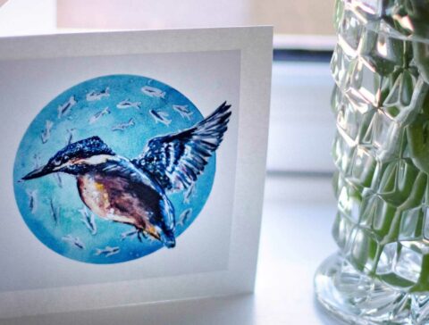
Ribble Rivers Trust greetings cards
Here at Ribble Rivers Trust we’re really excited to announce that we’ve teamed up with local artist Jessica Jenyns. Jessica has created some beautiful river themed greetings cards which are handmade, hand-finished, and environmentally-friendly; plus 50p from each card sold will be donated to the Trust. Jessica says; “Inspiration for my work comes from the…
-
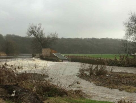
Snow, heat waves, and floods- the effects of climate change and how we can help
A long-standing member of our Loud Facilitation Group who farms in Chipping has been recording and monitoring rainfall on her land for decades and her results are in for February… in total the farm was deluged by 333.2mm of rainfall in just one month! This is a record for February, and the 4th wettest month…
-
National Apprenticeship Week
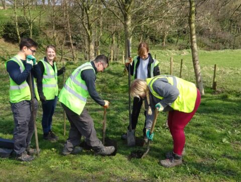
Apprenticeships are a great way to gain qualifications whilst you work, earn money, and gain the skills you need to work in your chosen sector. Plus the combination of knowledge and experience means apprentices stand out from the crowd, which is really important in industries such as conservation, where gaining experience and getting paid work…
-
How can I reduce my carbon footprint?
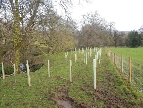
Climate change is a big issue, and the subject is finally getting the attention it deserves. Research shows that we have around 10 years to dramatically change our lifestyles, which is a really scary thought. But there is time, and there are lots of little changes we can make to our day to day lives…
-
Trout in the Classroom- inspiring children across our catchment
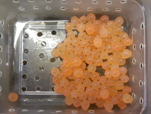
Our first trout eggs of the school year have now been delivered safely to schools Balderstone and Accrington, with more eggs due to be delivered over the coming week. Education and engagement are some of the most important parts of our work, and our Trout in the Classroom sessions have been a hit with primary…
-
What’s in your rivers- the cased caddis
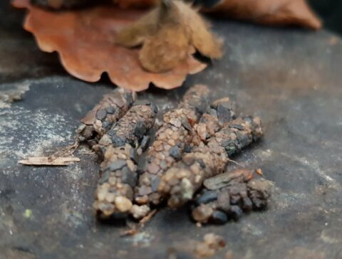
Cased caddisfly larvae live underwater and make cases for themselves by sticking together materials such as stones, sand, and leaves with a silk like substance which is made in glands close to their mouths. Generally, the cases will be made of whatever is most available, so if you have a very sandy riverbed, or a…
-
Giving a helping hand to our riverside habitats
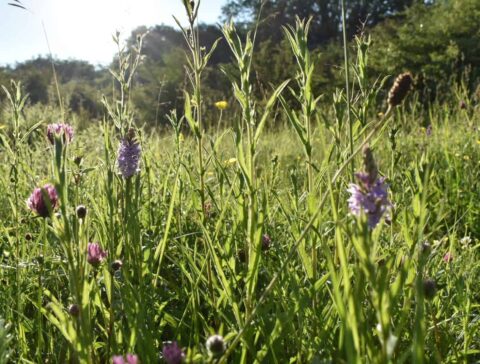
Thanks to the media we’re learning more about the threats to our planet, our environment, and our climate- but did you know there are problems even in your local rivers? Our area covers parts of Lancashire and Yorkshire with some of the least amount of tree cover in the country, less than 25% of our…
-
Terrific trees and wonderful woodlands- why we plant trees
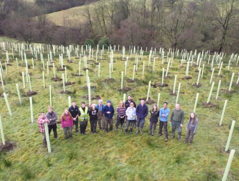
With help from grants, donations, supporters, and volunteers we’ve planted over 150,000 trees across more than 180 hectares in the last 21 years. Over winter 2019/2020 we will be planting another 10,000 trees, with an even bigger number planned for winter 2020/2021. It’s safe to say that the catchment is looking greener, but why is…
-
Primrose Lodge Blue and Greenway update
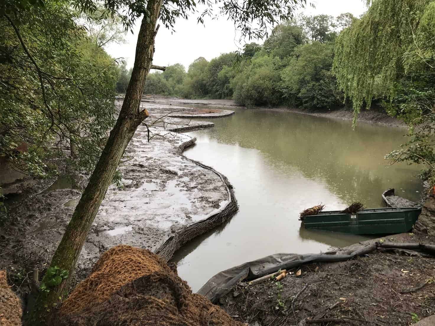
Ribble Rivers Trust are proud to announce that the first phase of the Primrose Lodge Blue and Greenway Project (PLBGP) is now complete! The first phase of this ambitious plan involved coppicing trees then desilting the redundant mill lodge, as well as clearing the area which, over the decades in which it has remained redundant,…
-
1000 Rivers Project
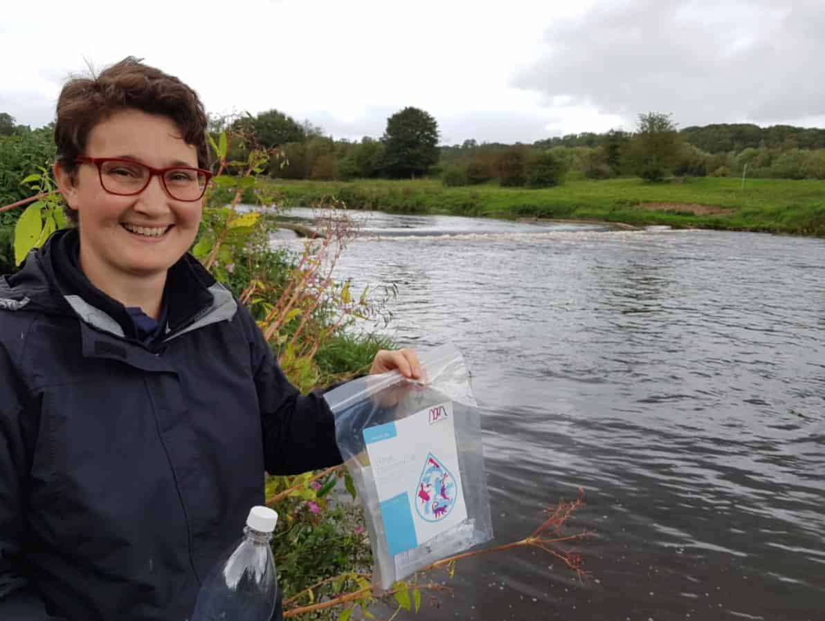
Ribble Trust are excited to be taking part in the 1000 Rivers Project. This project, led by the University of Hull aims to take eDNA samples from 1000 rivers in the British Isles, Continental Europe, and Canada. The Trust will be collecting 5 samples from the Ribble catchment and 5 samples from the Douglas catchment.…
-
Upper Ribble Weirs
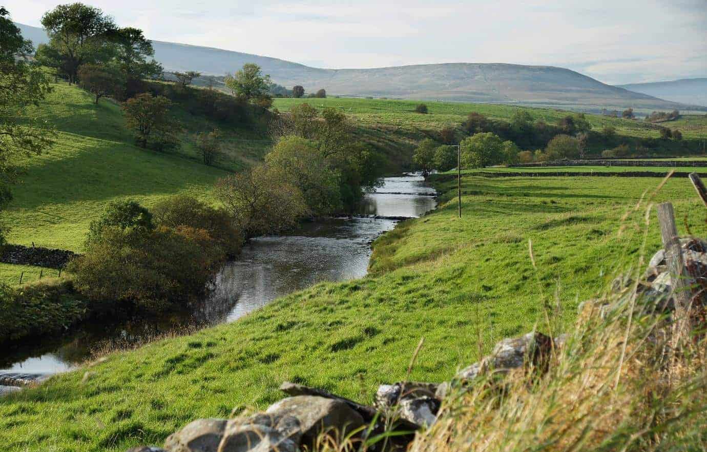
The Upper Ribble weirs, which are being addressed thanks to our Ribble Life for Water project, are a set of four weirs on the River Ribble close to Horton in Ribblesdale. Despite being close to its source the Ribble is still not achieving ‘good’ status in this location. This is due to a number of…
-
Pendle WINNS and the fight against balsam
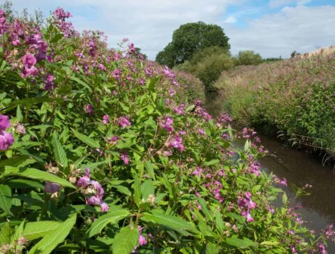
The Trust are now in their second year of the Pendle WINNS invasive species control, which is being carried out in partnership with Forest of Bowland AONB as part of their Pendle Hill Landscape Partnership project. Ribble Rivers Trust is helping the project achieve its aims by involving local volunteers in the control of invasive…
-
Holland Wood fish passage
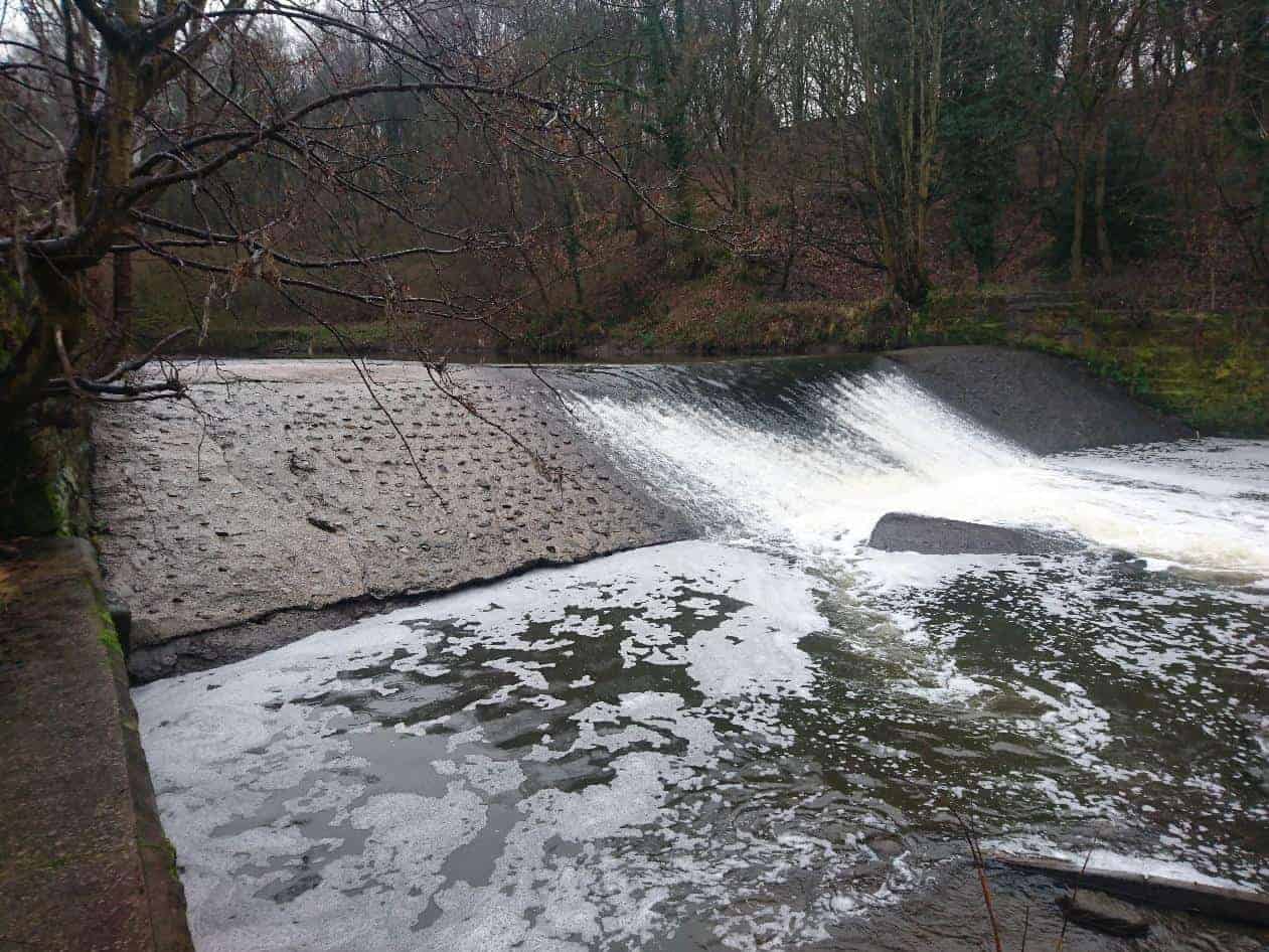
Holland wood weir lies on the River Darwen, close to its confluence with the River Ribble and the limit of the tidal Ribble area. The weir once helped to supply Walton Mill, a corn and flour mill in Walton le Dale, Preston, with water. Although the mill, which is now operated by Massey Bros, still…
-
Work Experience, by Emma Tabernacle
Monday When I arrived, I was met by Jonny who showed me around the office and explained what the trust did and what I would be doing for the week. I then went electrofishing with Adam and Kate. The fish were caught using an electric current relative to the conductivity of the water, which caused…
-
Fishing equipment appeal success!
Over the last few months we’ve been appealing to the angling community to try and gather together more equipment for our angling coaching, and we are delighted to announce it has been a great success. Thanks to generous contributions we now have a range of equipment including rods, nets, reels, feeders, floats, and much more!…
-
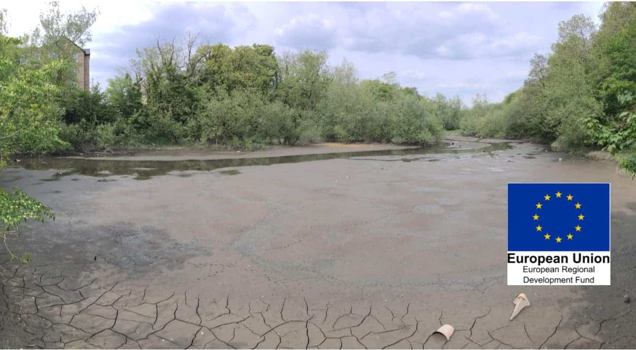
Primrose Lodge Blue and Greenway Project Progress
The Ribble Rivers Trust’s (RRT) ‘Primrose Lodge Blue and Greenway Project’ which is receiving funds from the Ministry for Housing Communities and Local Government, through the European Regional Development Fund, is now near to commencing work on the site.
-
Michelle’s apprentice success story!
When I first arrived I knew nothing! Or at least I felt like I didn’t. It was something completely new to me and I wasn’t sure if I would make the grade. However, that soon became irrelevant and unimportant. Changing careers can be a daunting prospect as you can never be totally sure whether it’s…
-
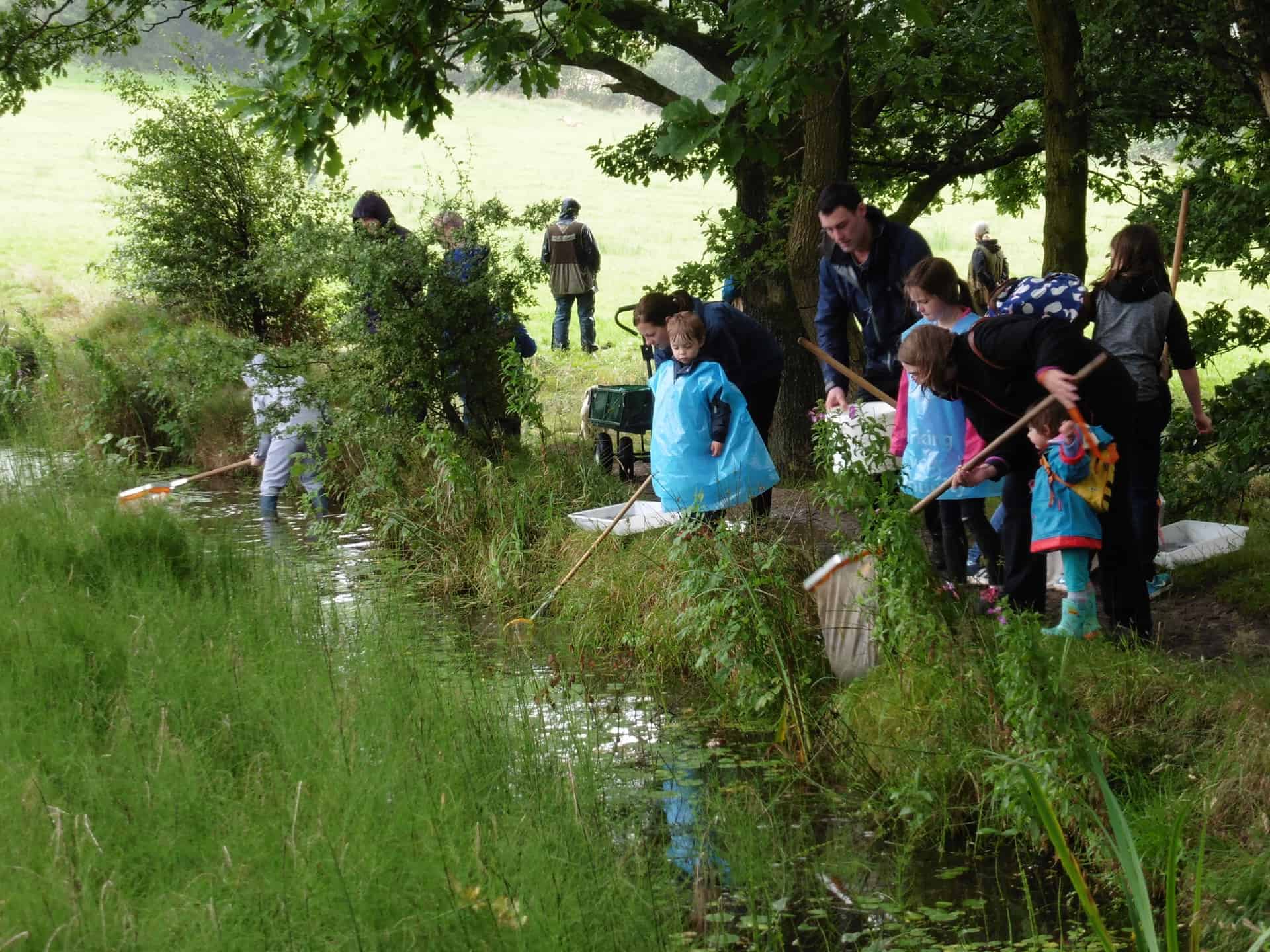
Tidal Ribble
The Tidal Ribble area is a unique landscape characterised by large spreads of urban areas and agricultural land, both of which have significant impacts on the quality of water in our rivers and streams, as well as at the coast. The project looks at working with farmers and communities to try to reduce the amount…
