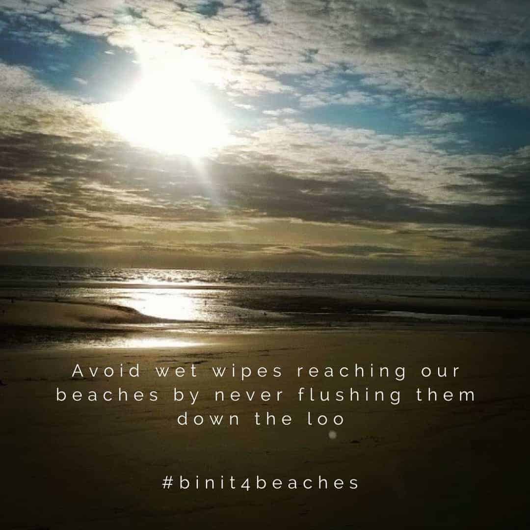
Please #binit4beaches this summer
If you’re planning on visiting one of the UK’s hundreds of designated bathing water beaches this year you might be shocked to find a wet wipe buried in the ... Read more.
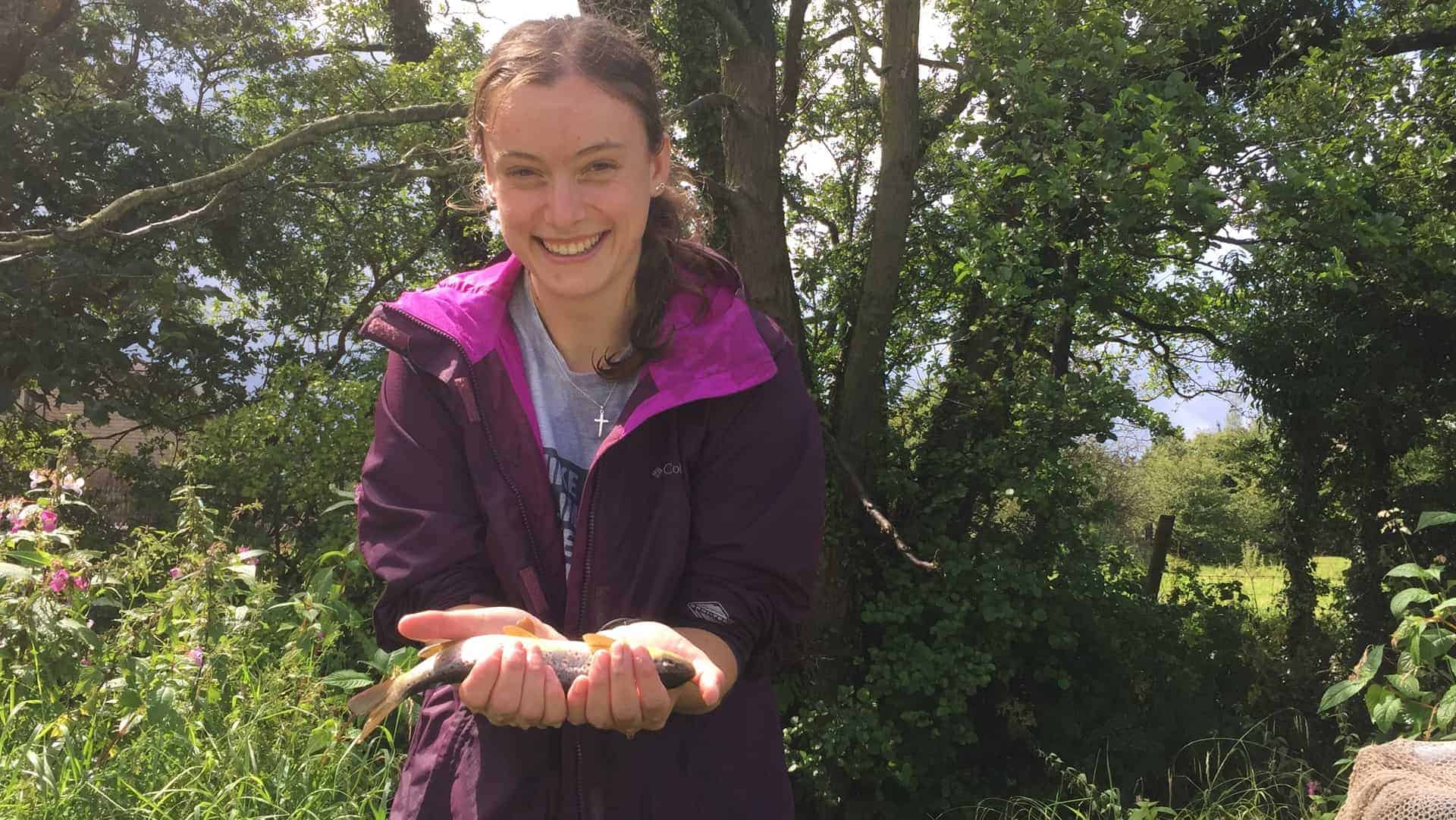
GIS Mapping Student Placement
By Kat Rowland: GIS Intern As a Geography student who loves rivers and GIS (and is doing her dissertation on both), the Rivers Trust was the perfect place for ... Read more.

Himalayan Balsam Bash
On Saturday 22nd July, nine fantastic volunteers braved the pouring rain to help Ribble Rivers Trust in their annual battle with the Himalayan balsam growing al... Read more.
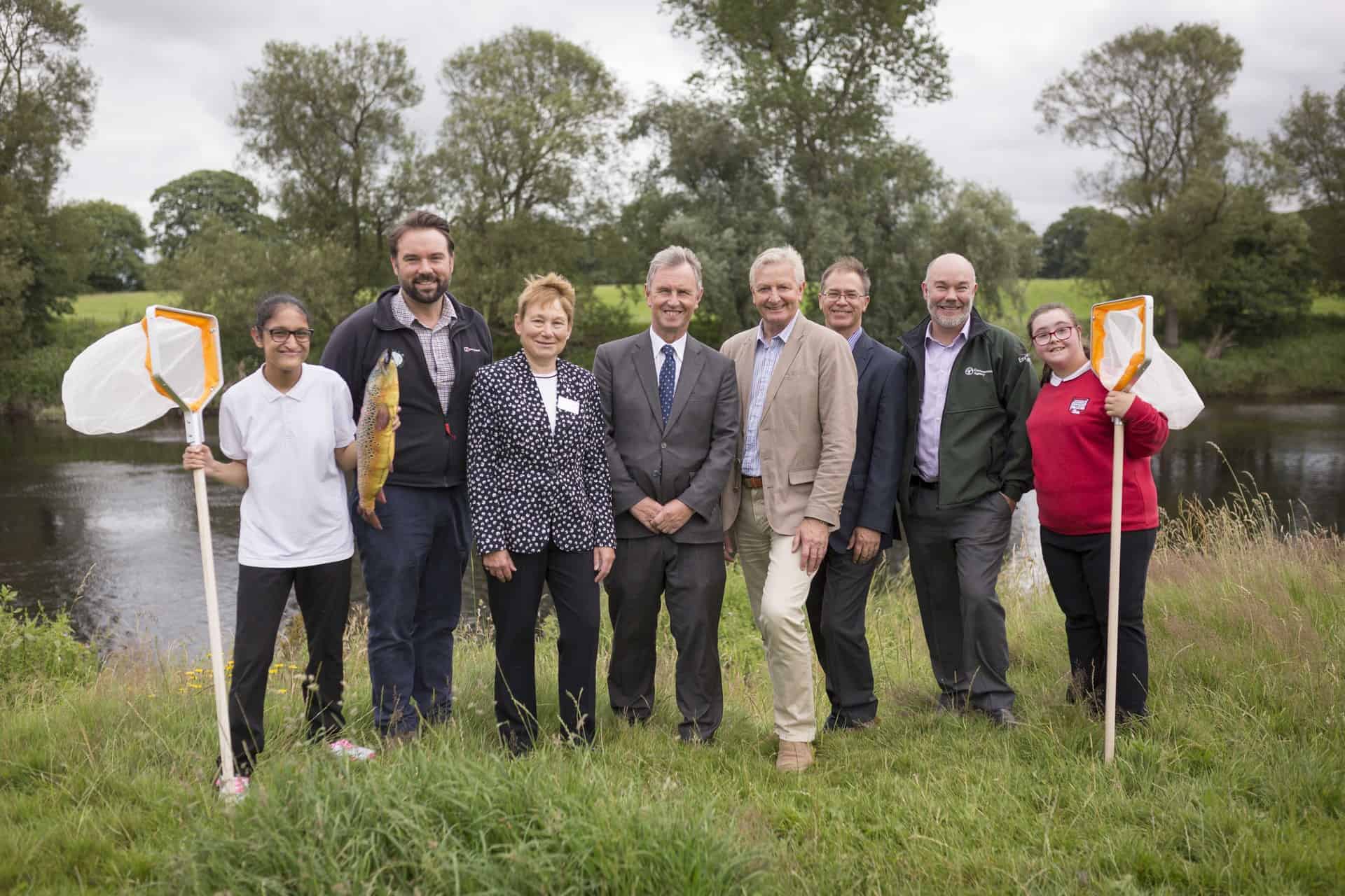
Ribble Life Together – The Launch
The Ribble Life Together project is officially underway! Last week’s project launch event at Brockholes Nature Reserve was a huge success! The event celebrate... Read more.
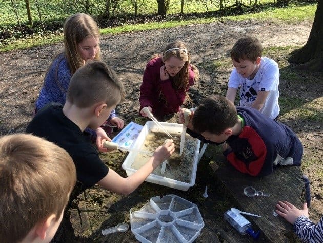
Rivers in the Classroom (and as classrooms!)
Sat with a year 6 group watching sand martins return to the river’s eroded bank, swooping around picking freshly hatched riverflies from the air. One girl lea... Read more.
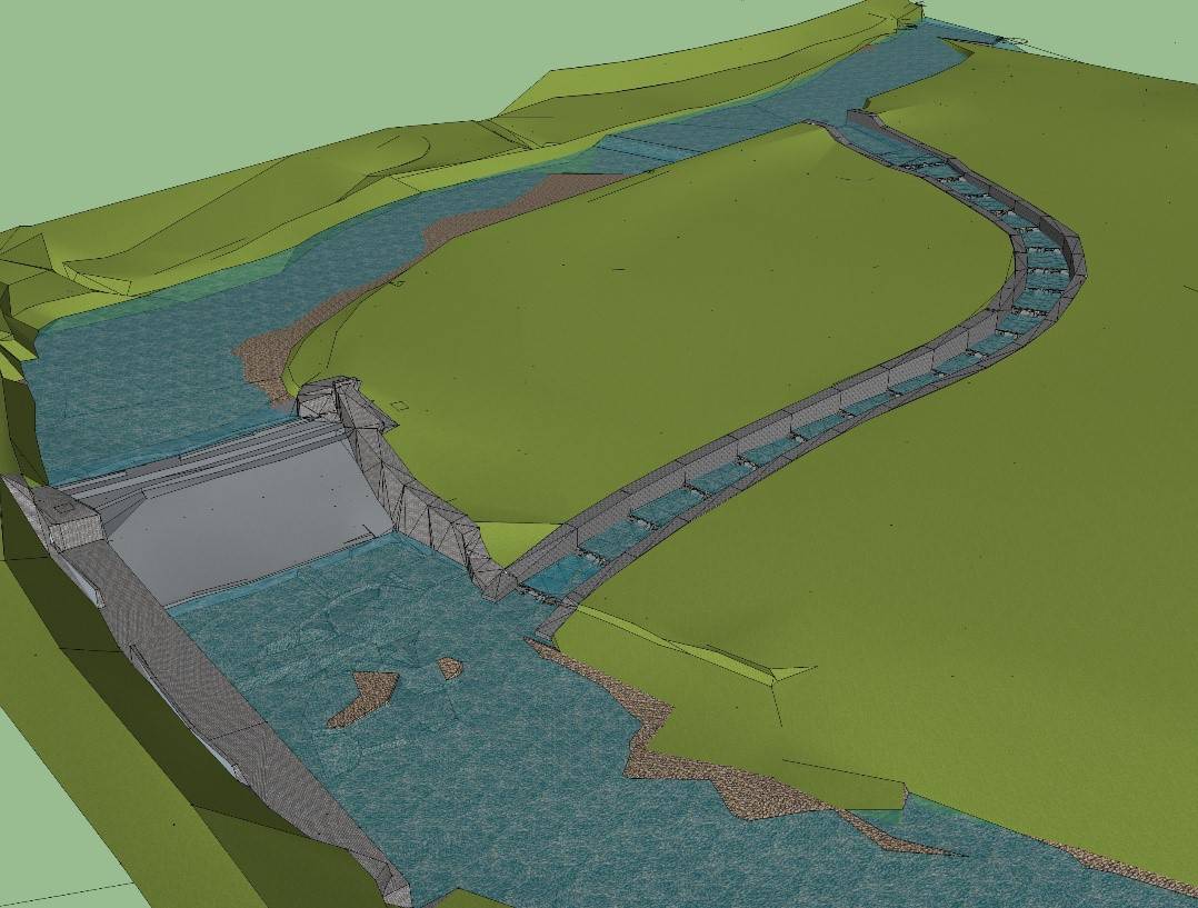
Fish Passes: How we design them
By Mike Forty, Project Officer. Restoring connectivity in rivers One of the big challenges we face in restoring freshwater ecosystems is re-connecting di... Read more.
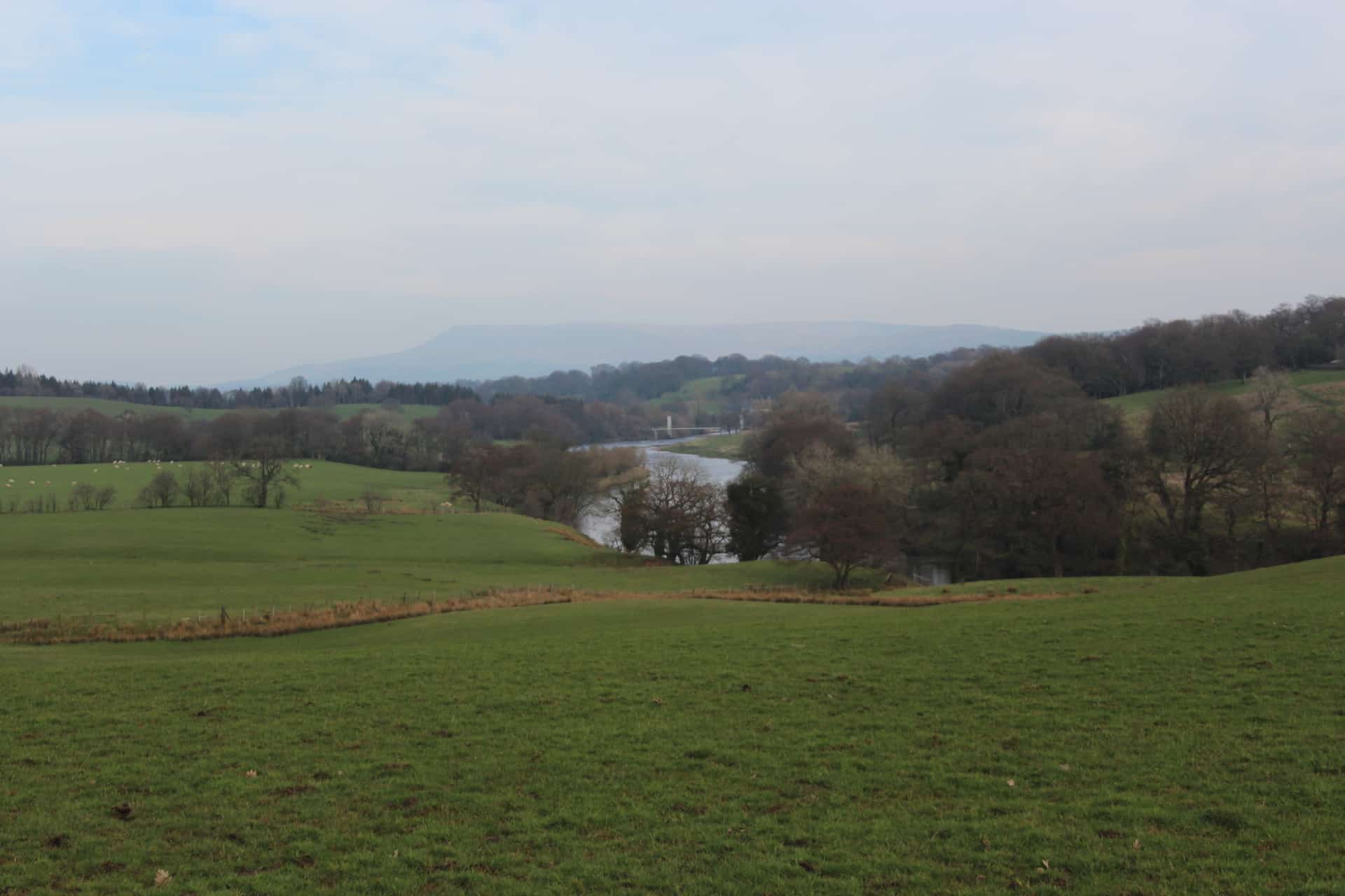
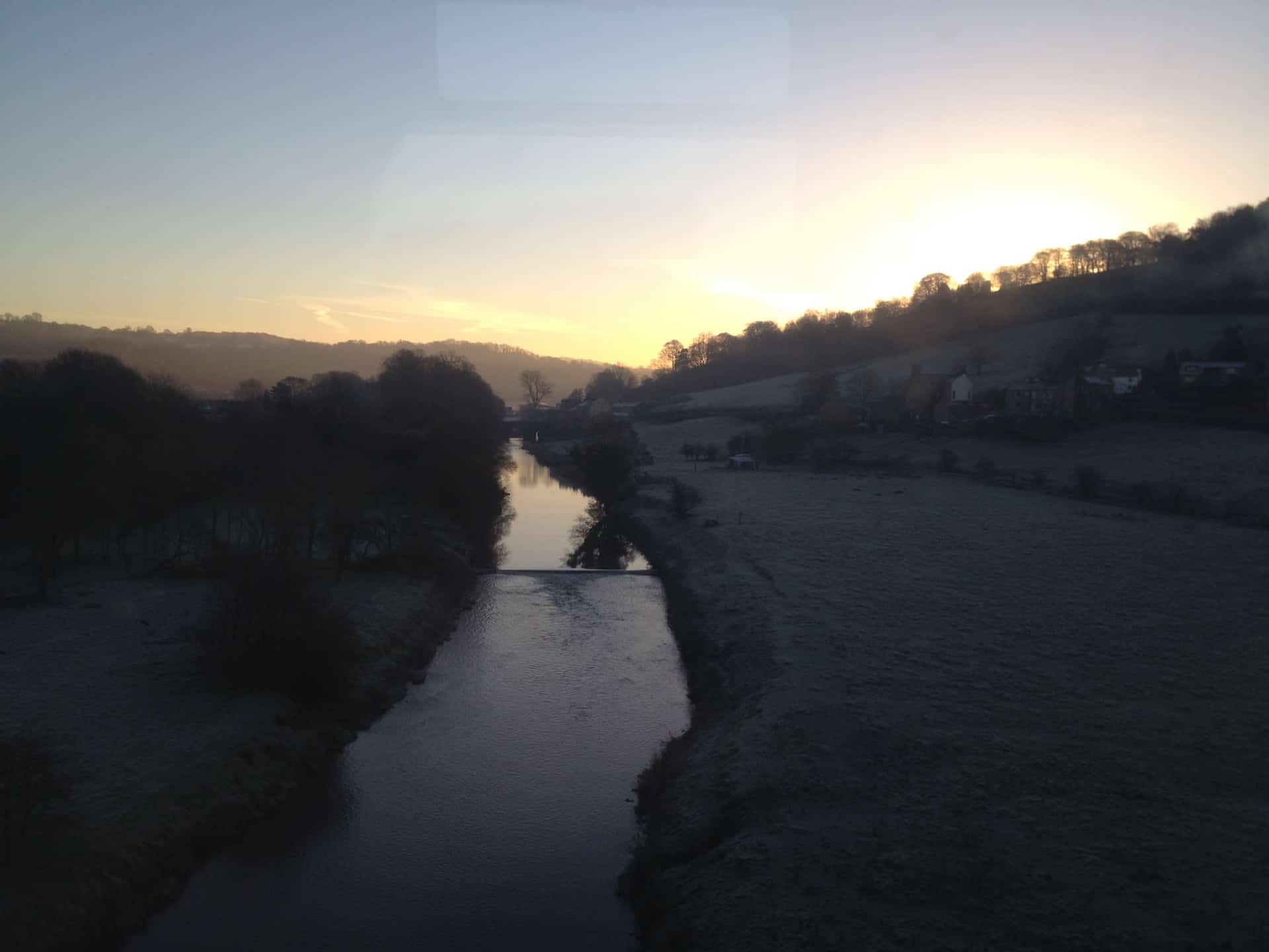
The Lower River Ribble
Soon after flowing under Mitton Bridge, the River Ribble grows considerably where it is joined by the Rivers Hodder and Calder. The ‘Big Ribble’ c... Read more.

The Upper River Ribble
The Upper Ribble catchment includes the source of the River Ribble at the confluence of Gayle Beck and Cam Beck near the famous viaduct at Ribblehead, in the sh... Read more.

River Hodder
The Hodder catchment includes some of the most attractive landscapes within the Ribble catchment. The whole area is within the designated Forest of Bowland Area... Read more.
River Calder
The Calder catchment includes the main River Calder which originates from the moorlands surrounding Nelson, Burnley, Colne and Accrington, before joining the Ri... Read more.